Water quality monitoring in estuaries prior to the 1990s was labor-intensive and sporadic, as samples had to be collected and brought back to the laboratory to be analyzed using lengthy procedures with specialized equipment and reagents.
 During the late 1990s, new innovations in automated water quality sensors made it possible to take measurements directly in the field, greatly reducing travel time, labor, and laboratory waste. This allowed researchers and managers to monitor water quality with more regularity and expand their sampling range.
Around the same time, in response to concerns over fish kill and low oxygen observations in Narragansett Bay Rhode Island, a group of researchers and volunteers called the “Insomniacs” led by Dr. Chris Deacutis (Rhode Island Department of Environmental Management (RIDEM), retired) and Dr. Warren Prell (Brown University Emeritus) began conducting night time spatial surveys to document these low oxygen events, hence the name “Insomniacs”.
These surveys revealed areas in the upper portions of Narragansett Bay that were experiencing low oxygen events and highlighted the need for continuous monitoring to gain a better understanding of these events.
A small group of researchers, led by the late Dr. Dana Kester from the University of Rhode Island’s Graduate School of Oceanography (URI GSO), answered the call and started a continuous monitoring program to assess physical water quality conditions in the Narragansett Bay.
Over the next several years, with the Rhode Island Department of Environmental Management’s Office of Water at the lead, other agencies and groups joined the project, evolving into what is officially known today as the Narragansett Bay Fixed Station Monitoring Network (NBFSMN).
Challenge: A Long History of Nutrient Pollution Connected to Impaired Water Quality
Like many waterways across the world located in developing watersheds, Narragansett Bay has a long history of pollution and water quality impairment. Oxygen impairment or hypoxia is of particular concern, as land-based nutrient pollution that flows into the bay can trigger algal blooms, resulting in declines in dissolved oxygen (especially in bottom waters) and fish kills.
 The states of Rhode Island and Massachusetts have dissolved oxygen criteria for Narragansett Bay to protect marine life (RIDEM, 2010; MassDEP, 2013).
The 2017 Status and Trends report from NBEP reported that over 32% of Narragansett Bay remains impaired for dissolved oxygen based on state assessments. The upper ⅓ of Narragansett Bay and its embayments experience seasonal intermittent hypoxic events with the potential to threaten ecological health seasonally (May-October).
These low oxygen or hypoxic events can have adverse effects on aquatic life, with the potential to negatively impact commercial fishers as well as recreational beach and fishing activity. The persistent lack of oxygen in the bottom waters, in particular, is one of the leading causes of aquatic life die-off. One low oxygen event can severely negatively impact all stages of marine life (i.e., growth rate reductions and fish kills).
Noting these concerns, starting in 2004, work began on reducing Total Maximum Daily Loads (TMDLs) to improve water quality with respect to eutrophication through nutrient (nitrogen) reductions from the watershed’s wastewater treatment facilities, primarily focusing on the effluent that empties into the Providence River.
In order to address and assess management initiatives, managers and stakeholders supported the need for continuous water quality monitoring.
Solution: Multi-Station Coverage in Narragansett Bay
In 2005, the Rhode Island Department of Environmental Management (RIDEM) Office of Water Resources (OWR) and partners—Narragansett Bay National Estuarine Research Reserve, Narragansett Bay Commission, and URI Graduate School of Oceanography—deployed multiple buoy and land based monitoring stations in the bay with a focus on the areas prone to hypoxia and other pollutants.
In 2008, based on assessment needs, a self-logging buoy station was added at Sally Rock (a mid-bay station within Greenwich Bay) to increase spatial awareness of water quality in Greenwich Bay, an area of concern for several water quality issues.
 Then, in 2016-2017, two new buoys were added in Upper Mount Hope Bay at Taunton River and Cole River as the Massachusetts Department of Environmental Protection joined the network.
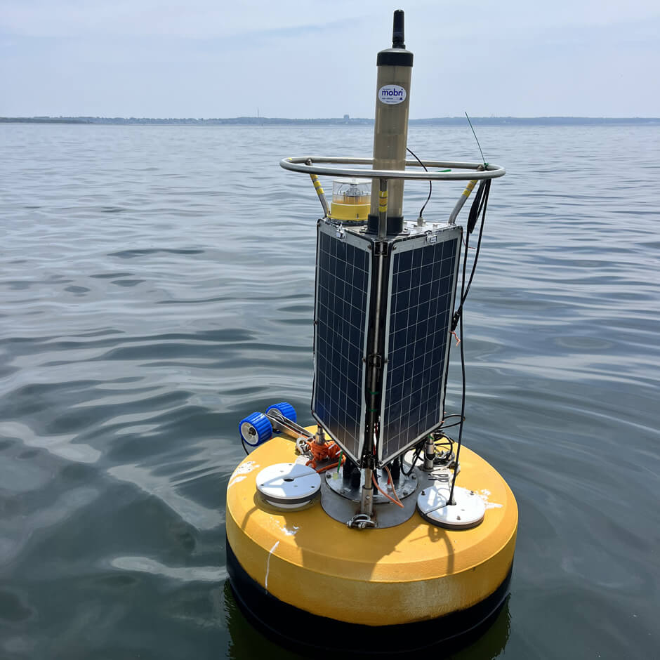
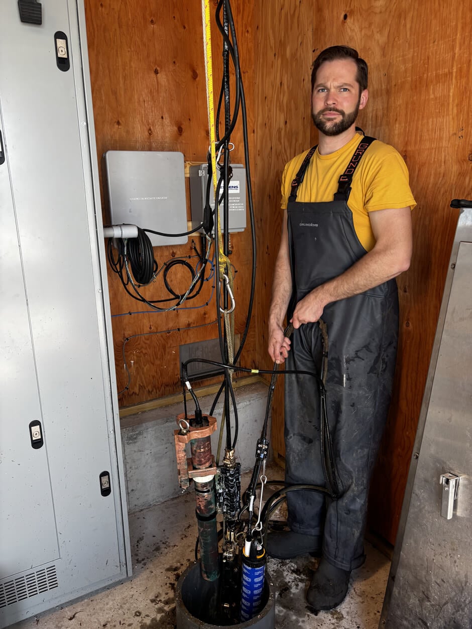
Since 2019, the NBFSMN has undergone several upgrades, namely swapping the aging buoy systems out for the NexSens CB-650 and upgrading two land-based stations to include NexSens data loggers connected to YSI EXO2 sondes and SUNA V2 nitrate sensors.
Today, 14 monitoring systems are stationed throughout Narragansett Bay—10 data buoys (8 real-time) and four dock-mounted systems that continuously collect water quality data.
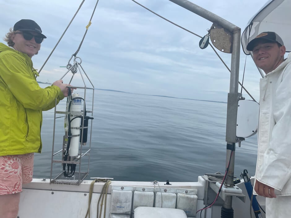
The YSI EXO2 sondes measure temperature, salinity, dissolved oxygen, pH, and chlorophyll at different depths, and select sites include SUNA V2 nitrate sensors for additional nutrient monitoring.
Benefits: Tracking Trends and Data Sharing
These stations are concentrated in the upper bay for increased coverage of this region, which has historically been the most heavily impacted by nutrient loading.
“These buoys allow for quick reporting in areas prone to intermittent hypoxia during the summer,” explains Heather Stoffel, a marine research associate at URI and Quality Assurance Officer for the NBFSMN.
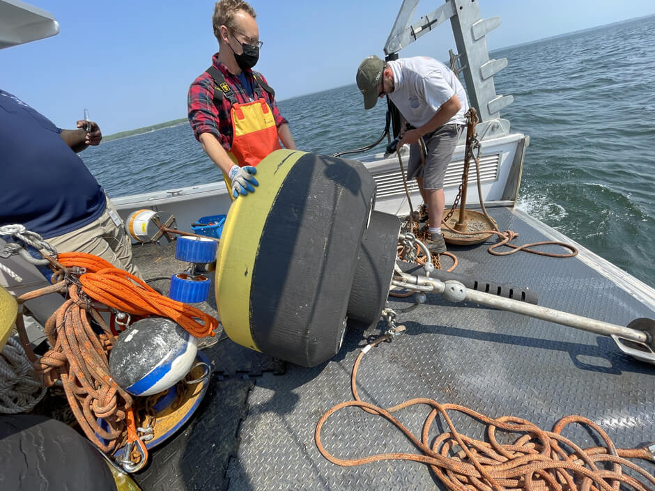 Michael Potter II, a marine research specialist at URI, shares that logged data is made available to the Northeastern Regional Association of Coastal Ocean Observing Systems (NERACOOS).
Stoffel adds that this real-time data allows scientists to track current conditions, conduct additional sampling during hypoxic events, and report findings to managers and the public after quality assurance evaluations. This data is made available to the public via the RIDEM website.
The 20-year-old data set is invaluable to a multitude of stakeholders to assess management actions, identify management priorities, document long-term trends (locally, regionally, and beyond), address monitoring gaps, and help prioritize monitoring needs.
For example, these systems may be used in the future as test sites for newer monitoring technologies, such as innovations in oil pollution monitoring and PFAS detection.
In addition, the data generated by the Narragansett Bay Fixed Site Monitoring Network has become a reliable resource for career researchers, scientists, educators, students (K-12, undergraduate, and graduate), and private citizens who, through its use, come to understand the many aspects of Narragansett Bay and similar systems around the world.
The Bottom Line
 Stoffel notes that now is a particularly important time to continue monitoring due to changes in wastewater management, as treatment facilities were a leading cause of pollution in Narragansett Bay for decades. However, upgrades to wastewater operations have achieved about a fifty percent (50%) reduction in the total loading of nitrogen into Narragansett Bay since the early 2000s.
“With the significant reduction in pollutant loadings and the influence of climate change, bay water quality conditions are expected to continue to change as well,” states Stoffel.
She adds, “Having long term monitoring stations such as the NBFSMN operational for the foreseeable future is imperative to provide accurate information to assess these changes from management as well as climate driven changes.”
Stoffel stresses that, despite the progress made in recent years to reduce point-source pollution, the threat of runoff from agricultural and urban areas continues to impact water quality. The network’s data continues to play an important role in informing future land use, providing public information on health conditions within Narragansett Bay, guiding research, and serving as an early warning system to the public.
Equipment
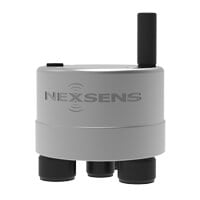
The X3 is an all-in-one environmental data logger designed for both pole/wall mount and buoy-based applications. Compatible sensors include water quality instruments, temperature strings, ADCP’s, water level sensors, and weather stations.
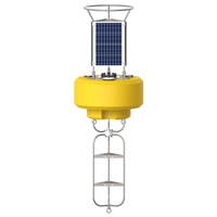
The NexSens CB-650 Data Buoy is designed for deployment in lakes, rivers, coastal waters, harbors, estuaries and other freshwater or marine environments.
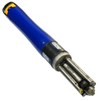
The YSI EXO represents the next generation of water quality instruments from YSI. The EXO2 sonde includes six sensor ports and a central anti-fouling wiper option.

