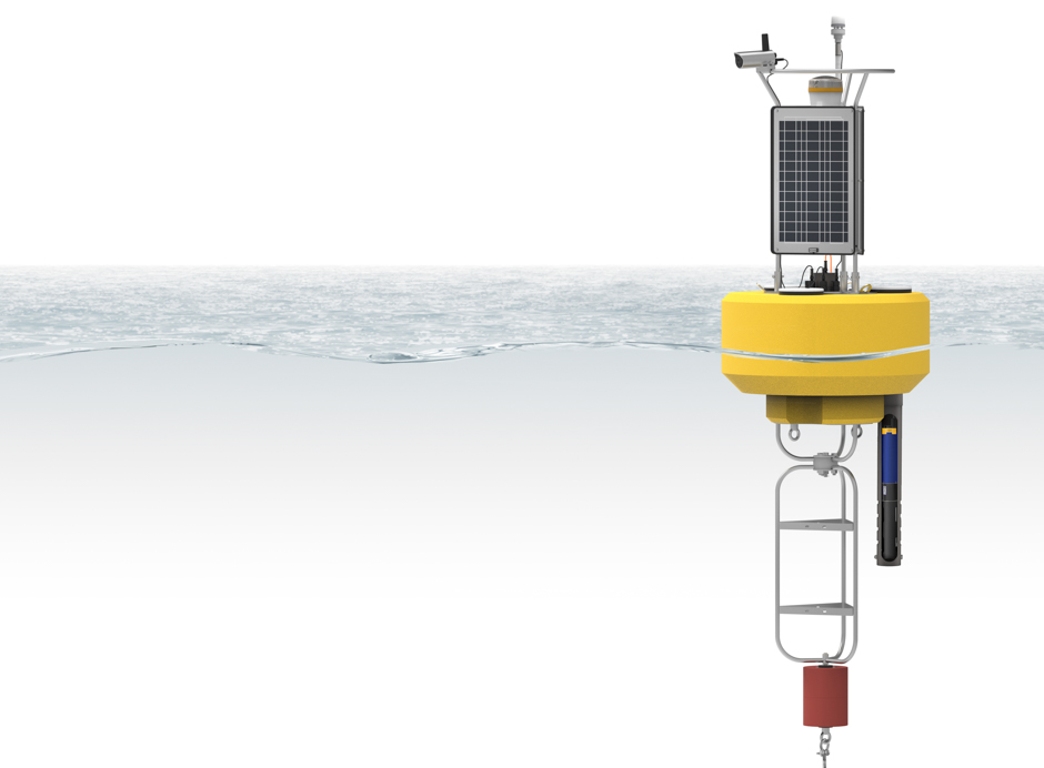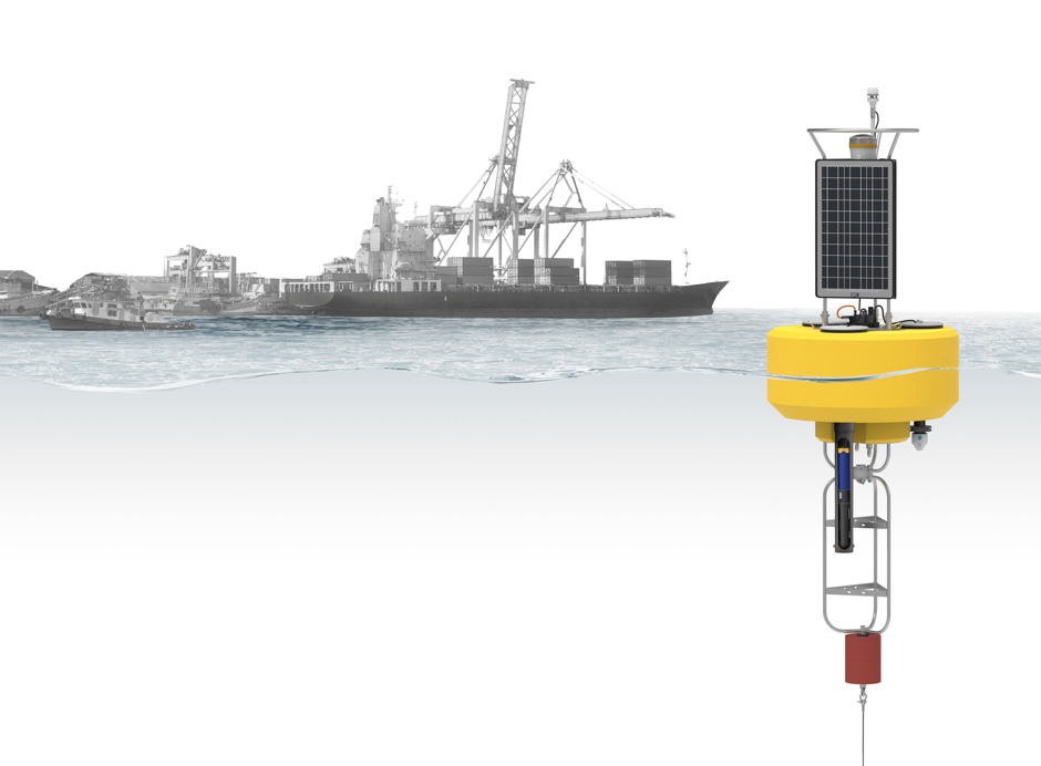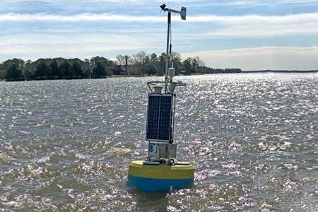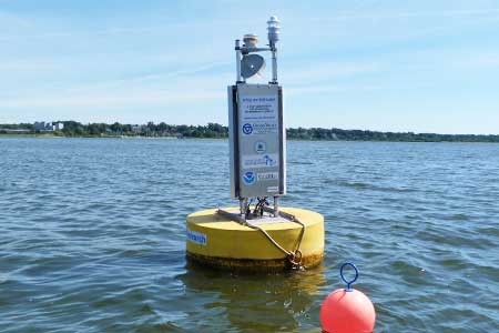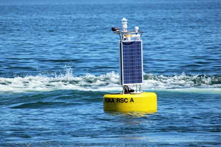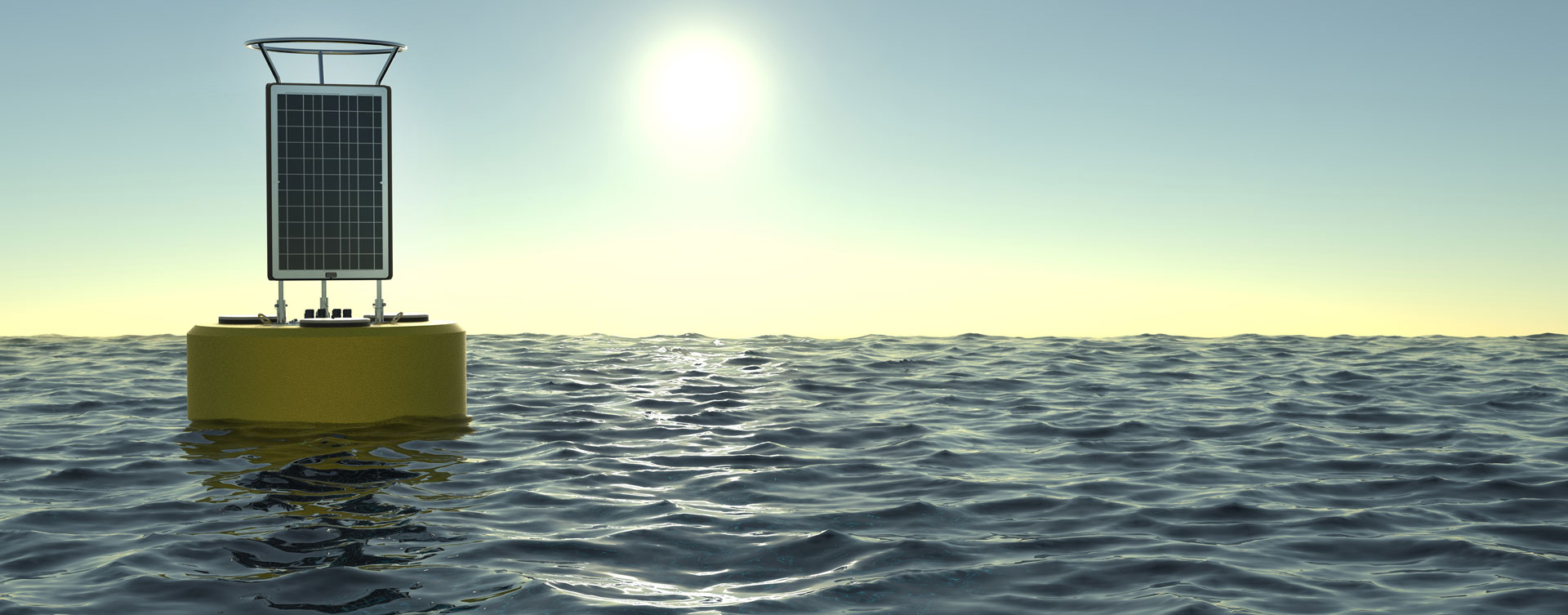
CB-1250 Data Buoy
Features
Powerful
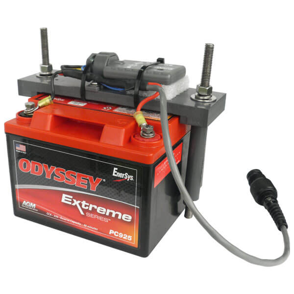
The platform integrates three 71-watt solar panels on the tower with space for up to four 28 A-Hr batteries in the instrument well.

Powerful
The platform integrates three 71-watt solar panels on the tower with space for up to four 28 A-Hr batteries in the instrument well.
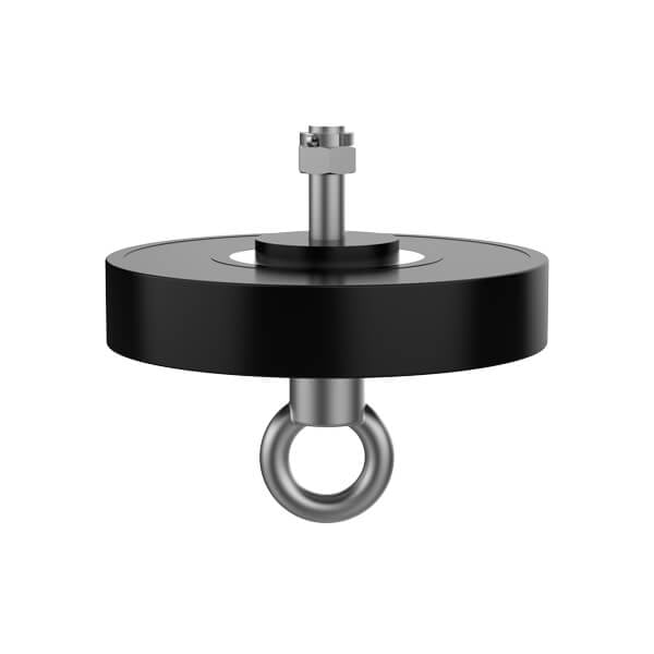
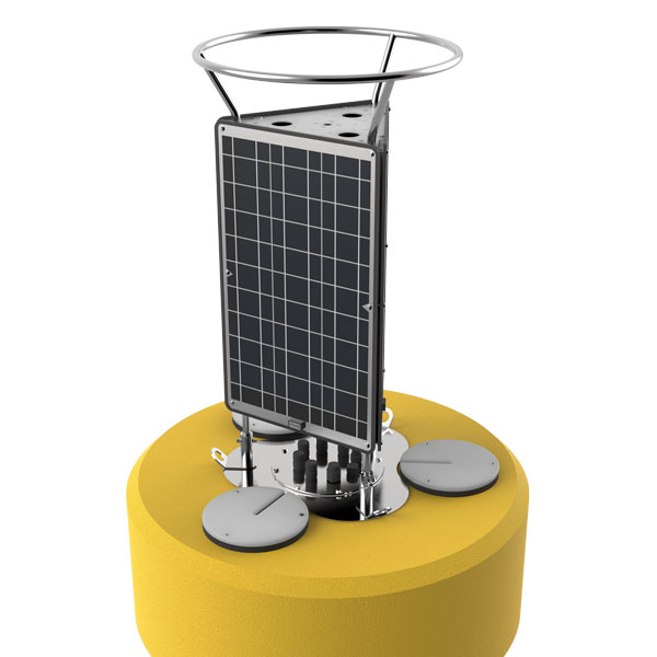
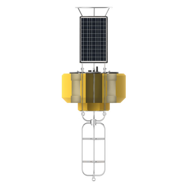
Tower
The stainless steel tower includes a top mounting plate for solar marine lights and radar reflectors. Mounts are also available for weather stations, video cameras and other topside instruments.
Tower
The stainless steel tower includes a top mounting plate for solar marine lights and radar reflectors. Mounts are also available for weather stations, video cameras and other topside instruments.
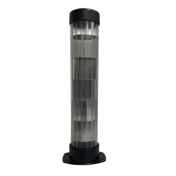
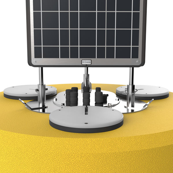
Data Well
A 10-inch diameter by 27 -inch tall data well provides a watertight housing for batteries, data loggers, sensors, and other hardware.
Data Well
A 10-inch diameter by 27 -inch tall data well provides a watertight housing for batteries, data loggers, sensors, and other hardware.
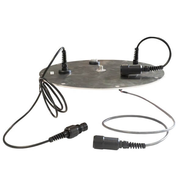
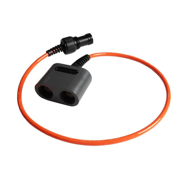
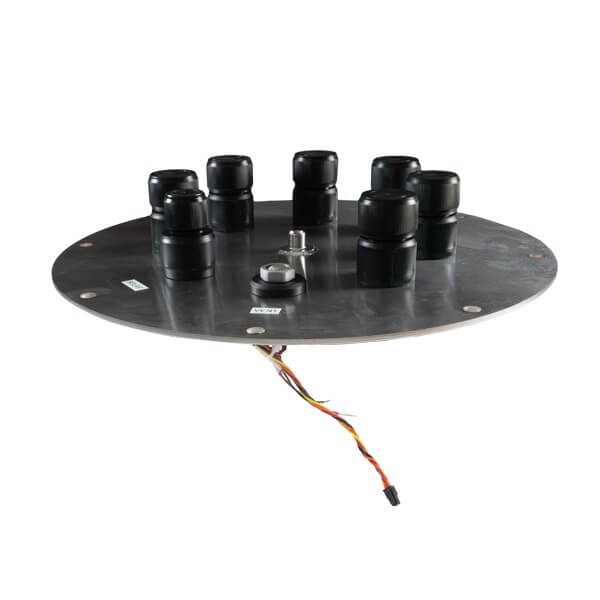
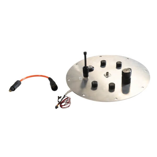
Connections
The data well lid provides pass-through connections for sensors, power, venting, and more. When integrated with the optional NexSens X3 data logger, the system is truly plug-and-play.

Connections
The data well lid provides pass-through connections for sensors, power, venting, and more. When integrated with the optional NexSens X3 data logger, the system is truly plug-and-play.
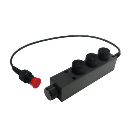
Top-to-Bottom Ports
Three 8-inch pass-through ports allow for sensors to be mounted underwater while securely routing the cable. Instrument deployment pipes and custom sensor mounts attach to 8-inch NPT bottom threads.
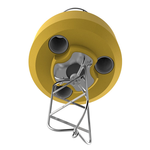
Top-to-Bottom Ports
Three 8-inch pass-through ports allow for sensors to be mounted underwater while securely routing the cable. Instrument deployment pipes and custom sensor mounts attach to 8-inch NPT bottom threads.
Solar Beacon
The optional solar marine light has a one to four nautical mile range and securely mounts to the buoy top plate for maximum visibility.
Solar Beacon
The optional solar marine light has a one to four nautical mile range and securely mounts to the buoy top plate for maximum visibility.
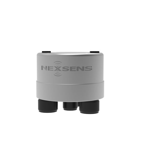
Data Logging
The X3 data logger is easily integrated for turnkey systems. Alternatively, 3rd party data loggers can be integrated by the user inside the data well.
Data Logging
The X3 data logger is easily integrated for turnkey systems. Alternatively, 3rd party data loggers can be integrated by the user inside the data well.
Wireless Communications
Communication options using the X3 data logger include Wi-Fi, cellular, and Iridium satellite.
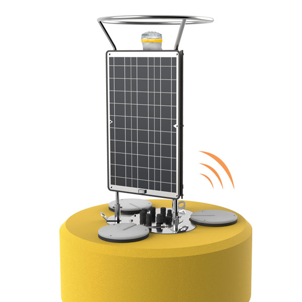
Wireless Communications
Communication options using the X3 data logger include Wi-Fi, cellular, and Iridium satellite.
Built to Last
Constructed of cross-linked polyethylene foam with a heavy polymer skin and an indestructible stainless steel frame, the CB-1250 is designed for years of service.
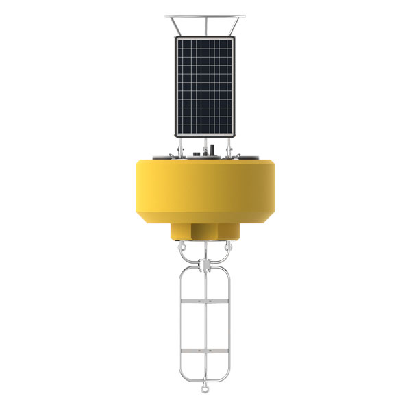
Built to Last
Constructed of cross-linked polyethylene foam with a heavy polymer skin and an indestructible stainless steel frame, the CB-1250 is designed for years of service.
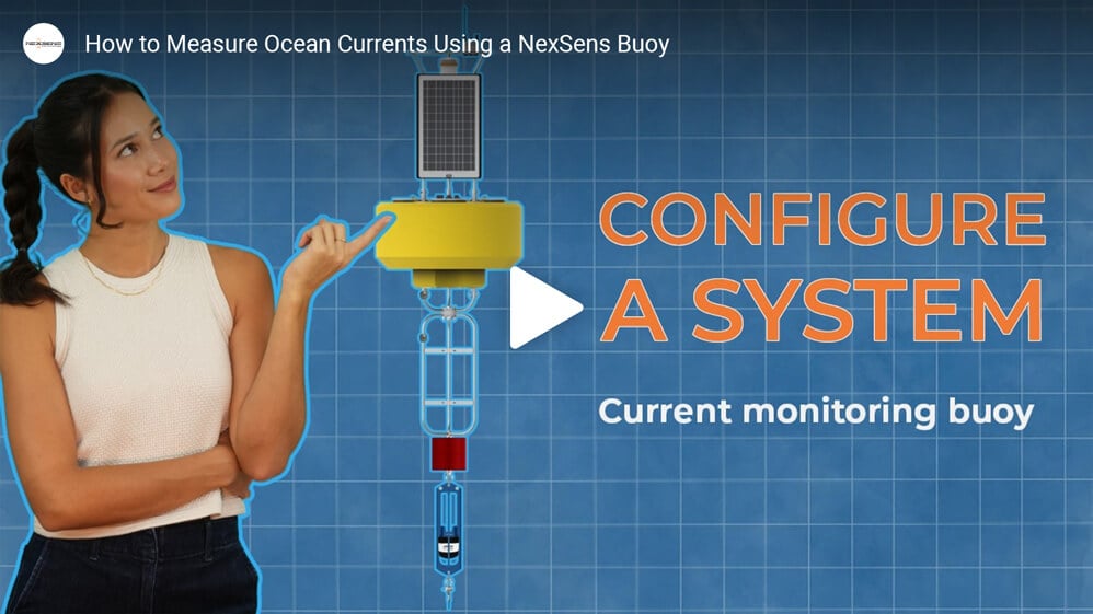
Configure a Data Buoy
Documents
Related Videos
Listening for dolphins and orcas in New Zealand
How to assemble a NexSens CB-950 Data Buoy - Getting Started
How this buoy powers ocean science using wave energy | NexSens Case Study
Purchase in the USA
Visit our US distributor, Fondriest Environmental, to purchase online.
Purchase Internationally
Click the button below to find a local distributor.
Contact a NexSens Applications Scientist
Need help designing an Environmental IoT system? NexSens applications scientists will help you design the perfect monitoring system to meet field conditions and monitoring needs.
Tech Specs
Hull Height: 28.0” (71.1cm)
Data Well Inner Diameter: 10.3” (26.2cm)
Data Well Height: 27.5" (69.9cm)
Pass-Through Hole Diameter: 8.0" (20.3cm)
Tower Height: 46.0” (116.8cm)
Solar Panels: 3x 71-watts
Weight: 262 lb (119kg)
Net Buoyancy: 1044 lb (474kg)
Hull Material: Cross-linked polyethylene foam with polyurea coating & stainless steel deck
Hardware Material: 316 stainless steel
Mooring Attachments: 3x 3/4” eyenuts

Systems
Learn more about environmental system and equipment applications on the NexSens System database.