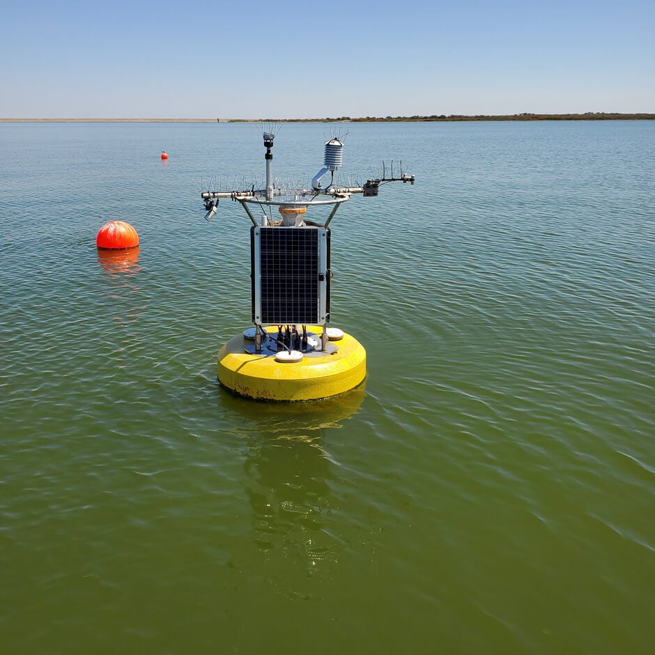
The Cal State Shark Lab uses modern sensing technology to study the behavior of the growing shark population along the California coast.
Articles Tagged: Case Studies
Tag case studies post for search
Sturdy Little Buoy, Tremendous Predictive Power
Northern Michigan University
Two solitary data buoys floating off the storm-tossed Lake Superior shore near Munising and Granite Island were sudden stars in 2017.
Monitoring An Active Thermocline, Rapid Changes
State University of New York (SUNY)—Plattsburgh
Researchers from the State University of New York (SUNY)—Plattsburgh deployed a cellular data buoy in the lake near Valcour Island.
A New Kind of Sentinel on Lake Superior
Superior Watershed Partnership, Lentic Environmental Services and UC-Boulder
Scientists deployed the buoy on the lake in 2017. Since then, it has provided continuous data on water quality from one mile north of the lighthouse.
Katharine Ordway Natural History Study Area
Macalester College
Ordway is home to land management projects on some of the wetlands and the oak woodland along the Macalester shoreline of the Mississippi River.
Protecting Ohio River Wildlife
US Army Corps of Engineers
To make sure the currents are flowing properly the USACE uses a NexSens CB-450 Data Buoy with a Seatek Ultrasonic Ranging System.
Using Technology to Protect Tradition
The Nottawaseppi Huron Band of Potawatomi (NHBP)
Sometimes it takes cutting edge technology to protect a precious resource. NexSens monitoring equipment is custom-built for every client’s goals.
Submerged Sensors of Sebago Lake
Portland Water District
An extended growing season, increased rainfall, and more frequent extreme storms with more runoff washing into Maine’s lakes can feed algae.
The Coral Reef Early Warning System (CREWS)
Central Caribbean Marine Institute (CCMI)
The buoys of the Coral Reef Early Warning System are providing the entire world with weather patterns and data about climate change from the Caribbean Sea.
Lighter Buoys Mean Quicker, In-House Responses
NOAA Chesapeake Bay
Although NOAA’s Chesapeake buoys are no longer used as interpretive trail markers, they are now part of a larger observing system of 10 full-time stations.