

Recommended Temperature Profiling System
Customized temperature profiling strings can be deployed in many different settings and environments. For surface water monitoring, a floating buoy platform often provides a simple and reliable approach for long-term data collection.
Buoy
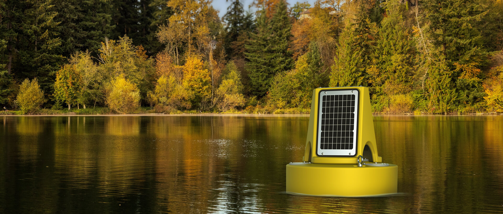
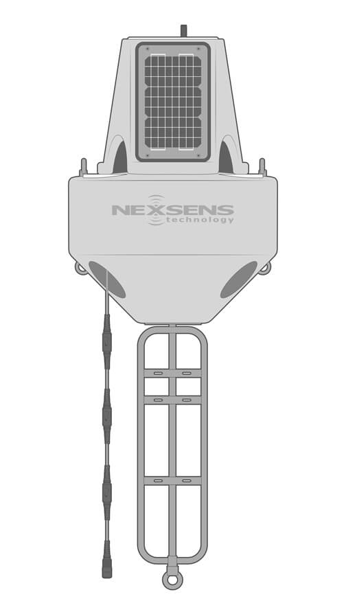
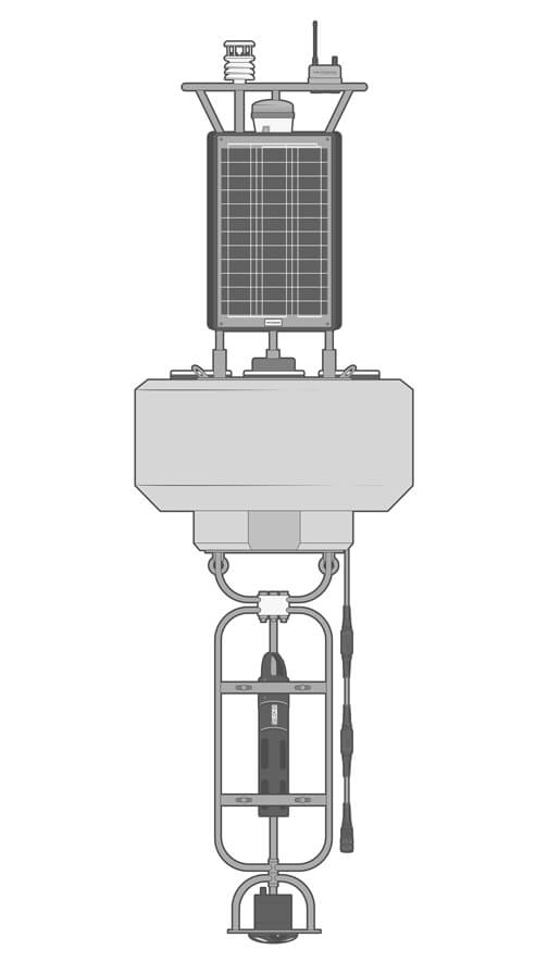
The XB-200 buoy is a powerful and robust, yet lightweight and easy-to-deploy buoy platform. Weighing in at just under 70 lb (30 kg), its molded polyethylene hull withstands harsh environmental conditions for years of reliable performance in any long-term application.
Data Logger
The X3 environmental data logger easily mounts to the XB-200 solar tower top plate. Pluggable sensor ports ensure simple, waterproof connection of thermistor strings and other sensors. Data is delivered in near real-time via Wi-Fi, 4G LTE, or Iridium satellite telemetry.
Thermistor String
The T-Node FR is a modular thermistor string system for “build your own” configurations. Nodes are connected in-line with marine-grade UW Cables featuring a braided Kevlar core, double O-ring seals, and variable lengths for placement of sensors at the desired depths.
Each T-Node FR sensor delivers high-precision measurements accurate to +/-0.075 C. An exposed titanium thermistor directly contacts the water, producing fast response and stability. A string can integrate as many as 250 nodes with up to 1,219 meters of cable.
Power
The XB-200 data buoy has a robust power capacity with three 15W solar panels oriented to capture sunlight from any direction and up to 56 A-hr battery. This allows for continuous, high-frequency temperature measurement in almost any geographic location.

Need More?
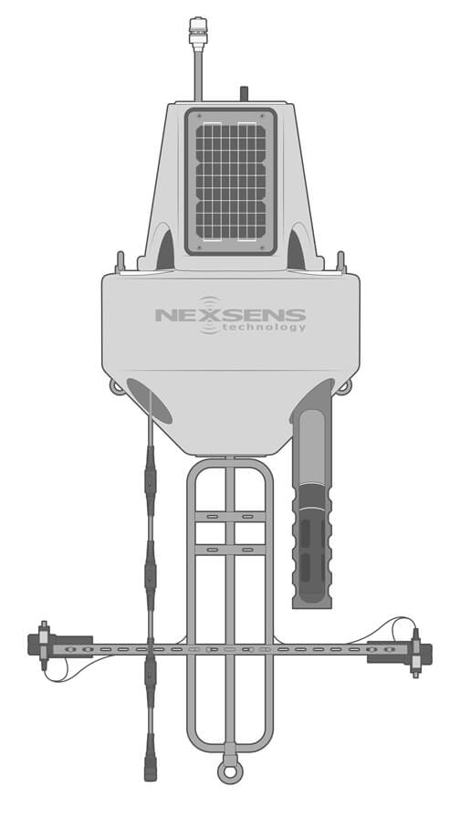
Every temperature profiling application is unique. Besides customization of string lengths and number of nodes, NexSens temperature profiling systems can be expanded with a wide range of other sensor types.
Topside Sensors
Meteorological instruments easily mount to the buoy tower and are integrated with the X3 data logger to add weather parameters like air temperature, wind, precipitation, and solar radiation.
Splitter Cables
For in-line integration of sensor types other than temperature nodes in a thermistor string, splitter cables are available. Two-way UW-2W and four-way UW-4W splitters pass through power and communications to water quality sensors and multi-parameter sondes.
Water Quality Measurements
Multi-sensor water quality sondes like the YSI EXO measure a suite of water quality parameters in a single instrument. Typical configurations may include temperature, conductivity, pH, ORP, turbidity, DO, algae, nutrients, and organic materials.
Alternate Buoy Sizes
A full line of data buoys is available ranging from the CB-75 to the CB-1250 provide scalable size and power capacity to meet diverse project demands and budgetary requirements.
Larger systems are capable of supporting more advanced instrumentation, including wave sensors and ADCP current profilers.
Accessories
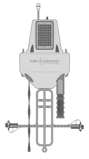
Sensor-specific and general purpose mounts are available for use with many of the most common sensor types. Perforated deployment pipes secure near-surface water quality sensors, or brackets fix sensors to the buoy frame or suspended sensor lines.

Mooring
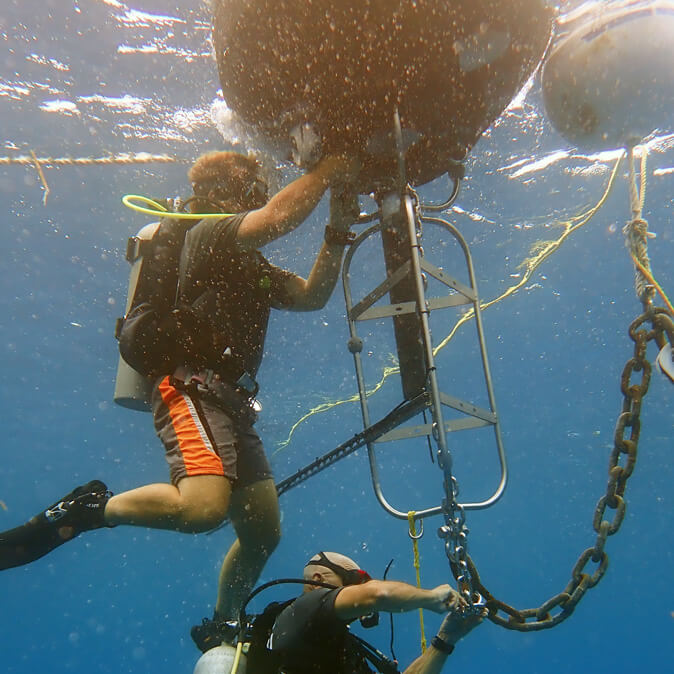
Temperature profiling buoys may be deployed with either single-point or two-point mooring system designs. Two-point moorings are often preferred when practical since thermistor strings are suspended below the buoy.>br>
To prevent strain on data cables, vinyl-coated stainless steel support lines typically run in parallel to thermistor strings. Cables are secured at each node location and as needed on long cable runs using TS-Clamp mooring clamps.
Real-Time Temperature Data
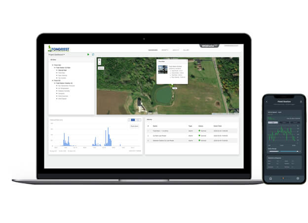
Wireless telemetry via Wi-Fi, 4G LTE, or Iridium satellite delivers near real-time temperature profiling data to the WQData LIVE web datacenter from nearly any location worldwide.>br>
The free, Basic tier configuration provides tools for secure data access, analysis, sharing, and download/export as well as simple high/low Quick Alert notifications and remote data logger controls.>br>
Subscription-based WQData LIVE tiers activate advanced reporting, alarming, and data sharing functions, including automated export, API, and Public Portal options.

Purchase in the USA
Visit our US distributor, Fondriest Environmental, to purchase online.

Purchase Internationally
Click the button below to find a local distributor.
Contact a NexSens Applications Scientist
Need help designing an Environmental IoT system? NexSens applications scientists will help you design the perfect monitoring system to meet field conditions and monitoring needs.
Related Videos
Case Studies
Measuring Wave Characteristics on Lake Geneva
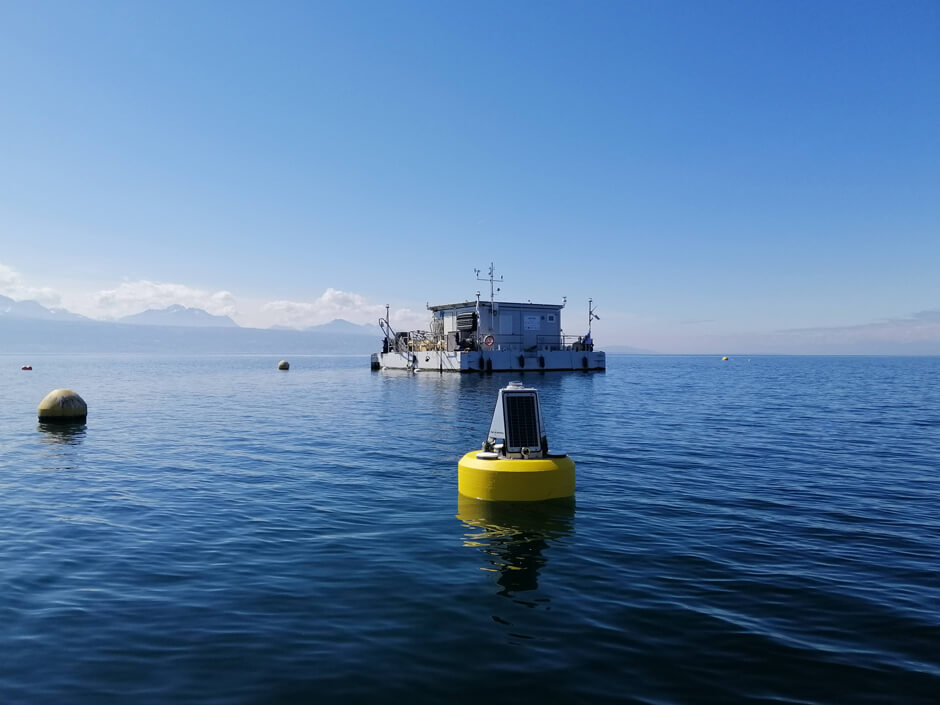
Lakes are fascinating ecosystems, and provide valuable resources for drinking water, aquaculture, and recreation. But they are also extremely sensitive to climate and land-use changes. Lake Geneva (or Lac Léman) sits along the France-Switzerland border and is home to LéXPLORE, a unique floating laboratory used to assess the impact of global changes and monitor lake health. Challenge: Filling the Wave Data Gap LéXPLORE is a 10m by 10m pontoon equipped with a range of high-tech sensors and vertical profilers to provide continuous, 24/7 data on Lake Geneva’s conditions. Data is used to compile a core dataset–available publicly via the Datalakes online portal–and to support specific research projects.
Measuring Cyanobacteria Toxins in the Great Lakes
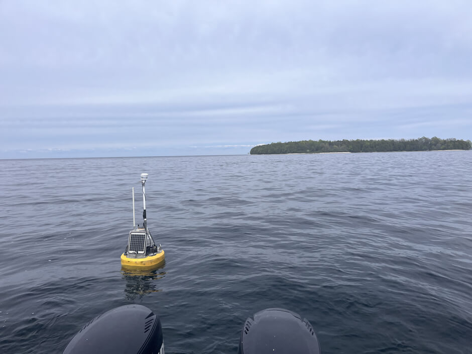
Harmful algal bloom (HAB) monitoring has become a popular topic of research in limnology. While most monitoring efforts center on chlorophyll measurement, the real impacts of HABs are connected to the toxins produced by cyanobacterial blooms, which can be challenging to measure. Due to their impact on human health, establishing models that allow for the prediction of toxin concentrations is important to public safety. Todd Miller, an affiliate and associate professor at the University of Wisconsin-Milwaukee and principal investor at the Laboratory for Aquatic Microbiology and Chemistry, is currently working toward a solution that allows for automated HAB toxin measurement out on the water. Challenge: Measuring HAB Toxins in the Field
Combining Real-Time Monitoring with Discrete Sampling in Maine
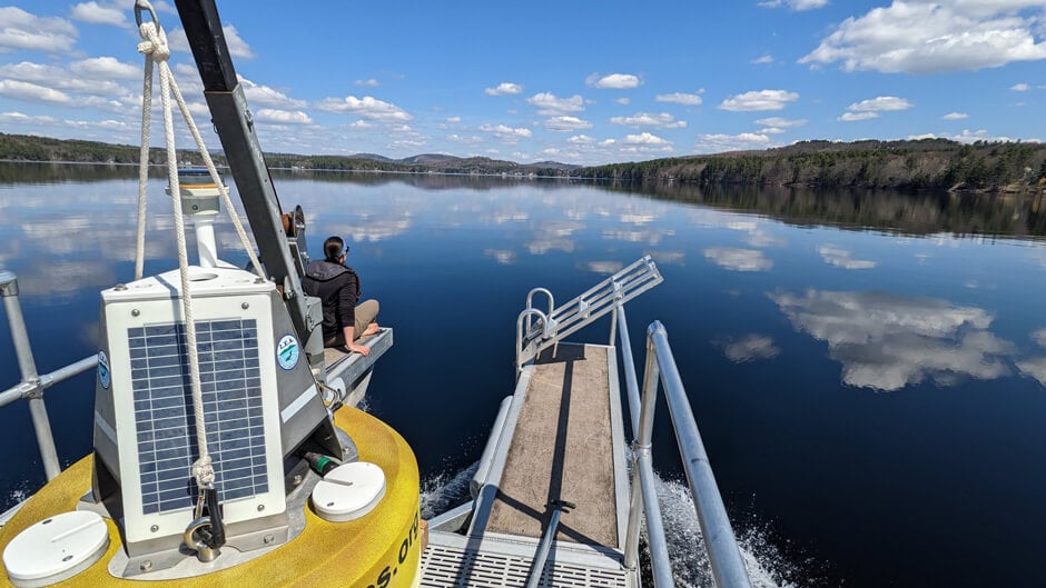
In recent years, freshwater lakes in Maine have become threatened by the changing climate, changes in water quality, increases in harmful algal bloom frequency and severity, and the spread of invasive flora and fauna. In order to protect lake resources, various interest groups have stepped forward to provide data that inform environmental policy and lead initiatives that promote lake health. For more than 50 years, the Lakes Environmental Association (LEA) in Maine has been working locally on lake water quality, watershed protection, conservation, education, invasive species, and other issues. A team of full-time and seasonal LEA staff, including Research Director Dr. Ben Peierls, monitor lake conditions, collect water samples, conduct laboratory analyses, and analyze the data needed to characterize water quality conditions and trends and inform management. Challenge: Managing an Expansive Program in Maine Based in Bridgton, Maine, LEA currently monitors 41 lakes in the surrounding six towns with support from membership contributions and other donations. Local volunteers sometimes assist in conducting spot sampling. Even with the extra help, the region is over 200 square miles, and monitoring every lake can be challenging.