

Recommended Dissolved Gas Monitoring System
Dissolved gases are dynamic and can shift rapidly. Buoy-based systems provide the high-frequency data required for their study and offer the flexibility needed for sensor placement in nearly any aquatic environment.
Buoy
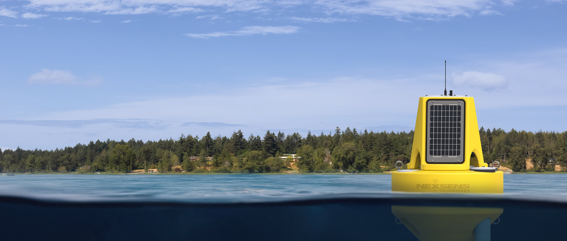
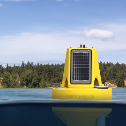
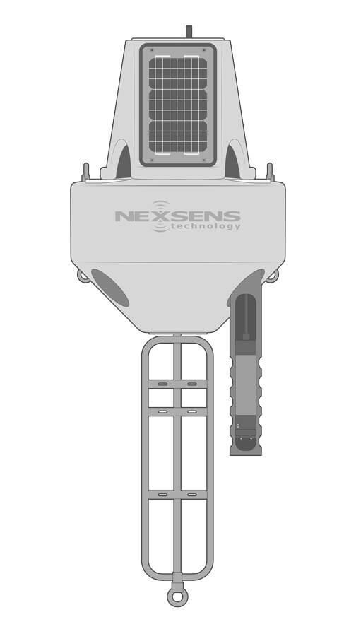
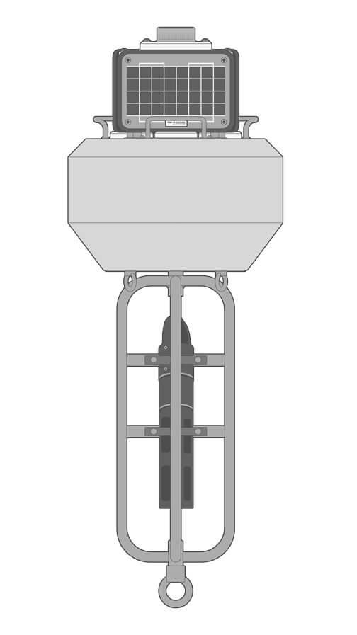
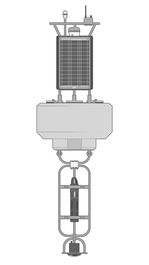
The XB-200 buoy is a compact, robust, and powerful platform suitable for open-water monitoring in both freshwater and marine environments. At just under 70 lb (30 kg) in weight, it is easy to transport and deploy even from small vessels.
Data Logger
The X3 data logger mounts to the solar tower of the XB-200 with included mounting hardware. Pluggable, waterproof sensor ports simplify sensor connections, while Wi-Fi, 4G LTE, or Iridium satellite telemetry capabilities transmit data in near-real time.
Dissolved Gas Sensors
The X3 logger supports a broad range of industry-standard dissolved gas sensor types, including the Pro-Oceanus Solu-Blu and Mini probes for measuring carbon dioxide (CO2), methane (CH4), or total dissolved gas (TDG) concentrations.
Power
Three 15W solar panels oriented to capture sunlight from any direction on the XB-200 charge internal batteries with up to 56 A-hr capacity. This allows for continuous operation with high-frequency data acquisition even in challenging geographic locations.
Accessories
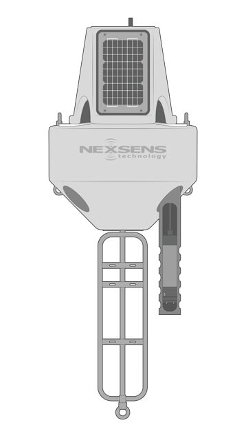
Near-surface sensors may be placed in perforated deployment pipe accessories for topside access without buoy removal. Sensor strings are suspended from the buoy hull or cage for deeper placement or multi-sensor configurations.
Need More?
NexSens offers a solution for nearly any long-term dissolved gas monitoring application, including those requiring additional measurement parameters. Customized plug-and-play systems support many different sensor types.
Alternate Buoy Sizes
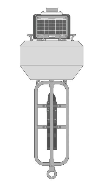
For shorter-term or seasonal dissolved gas measurement applications, the smaller CB-75 buoy is a portable and cost-effective option. Logger electronics support the same dissolved gas sensor types as any larger buoy system.
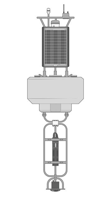
Larger platforms like the CB-650 and CB-950 offer more buoyancy and power to support more demanding sensor payloads. These are also well-suited for sites with heavy boat and ship traffic that benefit from the increased visibility.
Additional Sensors
Instruments like weather stations, water quality sensors, thermistor strings, and current profilers are simple to combine with dissolved gas measurement.
Tower-mounted meteorological instruments record atmospheric parameters that can affect gas dynamics, such as air temperature, barometric pressure, solar radiation, and precipitation.
Below the surface, many other water quality sensor types can be integrated alongside dissolved gas sensors. Available sensors and multi-parameter sondes measure parameters like pH, dissolved oxygen, algae, underwater PAR, and nutrient concentrations.
For sites where physical and biological processes are particularly temperature-sensitive, fixed-node TS210 and modular T-Node FR thermistor strings can provide high-resolution, multi-depth temperature profiling.
In locations where water currents influence the distribution of gases, ADCP current profilers may be integrated for multi-depth current speed and direction measurements.
Deployment
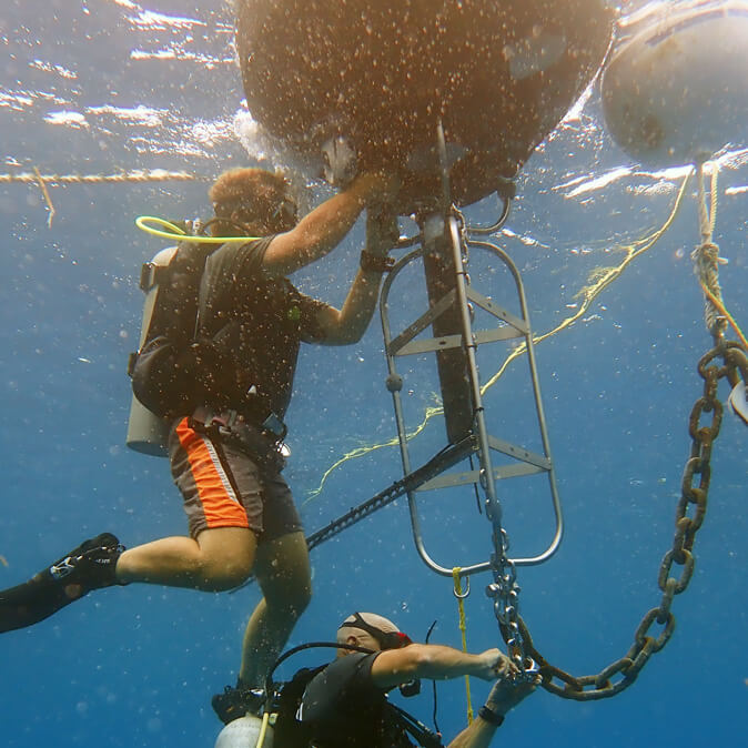
Buoy systems support both single-point and two-point mooring configurations. Single-point moorings work well with buoy-mounted sensor configurations, while two-point moorings are preferred for suspended sensor strings in many environments.
As an alternative to buoy-based monitoring, shoreside deployments from riverbanks, piers, or docks are also possible. The X3 logger is fixed to a pole, wall, or other structure by the PM2 Mounting Kit, with power input from a SP-series solar power pack.
Real-Time Dissolved Gas Data
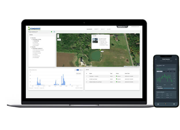
Wireless telemetry delivers near real-time dissolved gas data to the WQData LIVE web datacenter in continuous monitoring applications.
The free Basic tier service option allows users to view, manage, and download data, set simple high/low Quick Alert notifications for early warning of exceedances, and remotely configure logger functions such as log intervals.
Subscription-based WQData LIVE tiers provide advanced alarm functions and data sharing options, including automated export, API, or access via Public Portal.

Purchase in the USA
Visit our US distributor, Fondriest Environmental, to purchase online.

Purchase Internationally
Click the button below to find a local distributor.
Contact a NexSens Applications Scientist
Need help designing an Environmental IoT system? NexSens applications scientists will help you design the perfect monitoring system to meet field conditions and monitoring needs.
Related Videos

Case Studies
Mahoning Creek Hydroelectric Plant
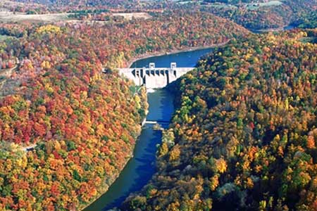
In 1938, as part of an effort to develop flood controls in the Allegheny River basin in Western Pennsylvania, the U.S. Army Corps of Engineers broke ground on the Mahoning Creek Dam. By 1941, the project was complete. Although initial plans to equip the dam for hydropower were scrapped due to steel shortages associated with the nation’s accelerating war mobilization efforts, project engineers included a hydropower conduit in the final design so the dam could later be retrofitted for energy production. Seven decades later, Enduring Hydro, a Maryland-based hydropower developer, has implemented the vision of those early engineers. In partnership with the U.S. Army Corps of Engineers Pittsburgh District, the company has constructed a 6-megawatt, environmentally responsible hydroelectric facility on the Mahoning Creek Dam.
Monitoring Evaporation Rates in Texas Reservoirs
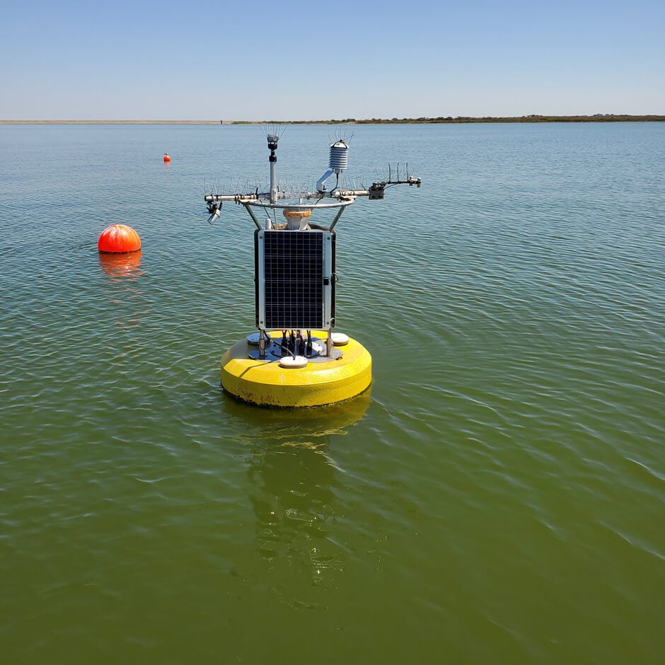
The Texas Water Development Board (TWDB) has been monitoring reservoir evaporation rates for decades. Dating back to the 1960s, the TWDB has derived evaporation rates from a sparse network of Class A evaporation stations and continues to use these systems today—with some critical additions in the form of real-time data buoys on the reservoirs. Challenge: Improving Evaporation Rate Data Accuracy Though located near the reservoirs, the pan data carried with it some uncertainties as the TWDB followed research that emerged in the 1980s and proposed that accurate estimation of reservoir evaporation required measurements be taken on the lake. In 2018, the TWDB tested this theory with an experimental floating eddy that measured the exchange of gases in a closed system and helped the TWDB better understand how climate conditions influence lake resources.

Wetland Mitigation Bank
The Great Miami Wetland Mitigation Bank is the only such bank in Ohio offering stream restoration credits. It offers credits for corporations and others who want to offset the wetlands they destroy through construction by buying newly restored wetland space. But alongside that mission is another that is mapping the transport of gases as restored wetlands take shape. It is looking at the big question of whether or not newly restored wetlands are sources of greenhouse gases or sinks for them. The University of Nebraska-Lincoln, with funding from NASA, is heading up the work. Scientists with the school instrumented the mitigation bank with a number of monitoring stations to chart changes that a newly restored wetland undergoes. After all, the lands used to serve as fields for growing corn. Demand for the wetland credits is high, as Five Rivers Metroparks sold nearly a third of those available before construction ever began. In addition to the money the bank will help generate for the organization, the restored wetlands are yielding new habitat for wildlife, as well as a worthwhile study ground to chart changes that occur in newly restored wetland spaces.