
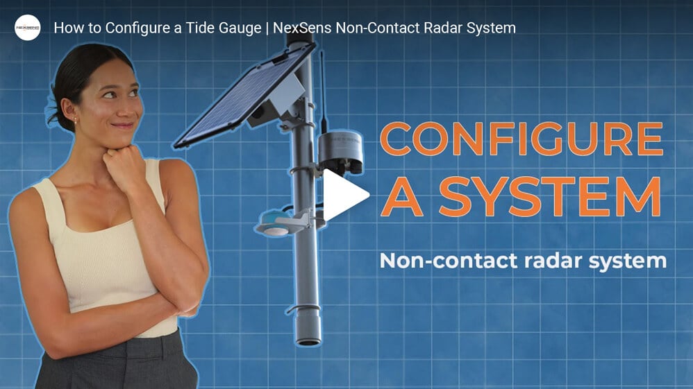
How to Configure a Tide Gauge | NexSens Non-Contact Radar System
Recommended Tide Measurement System
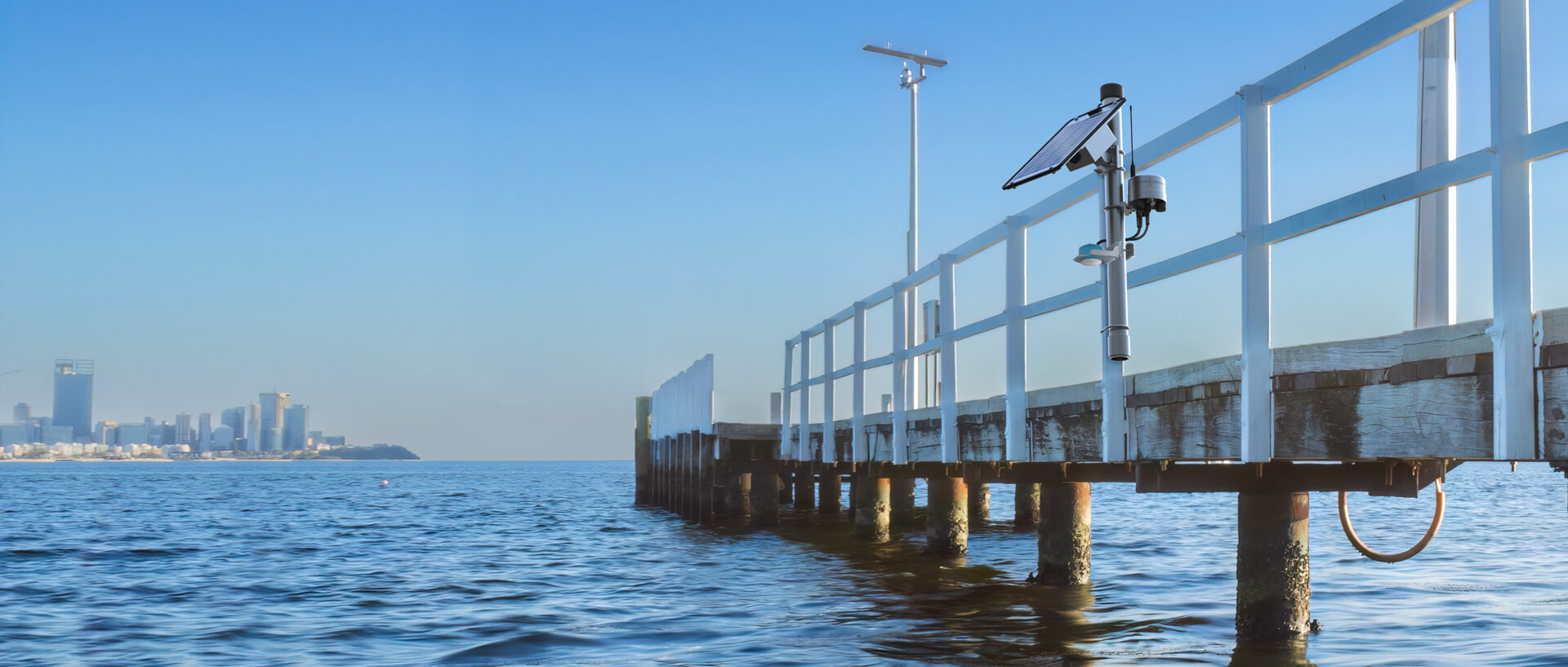
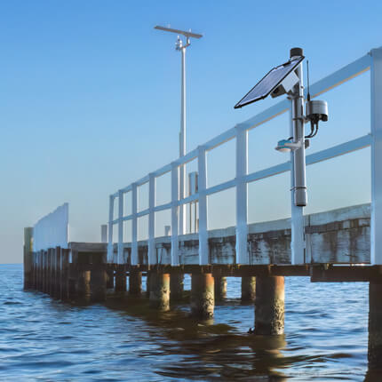
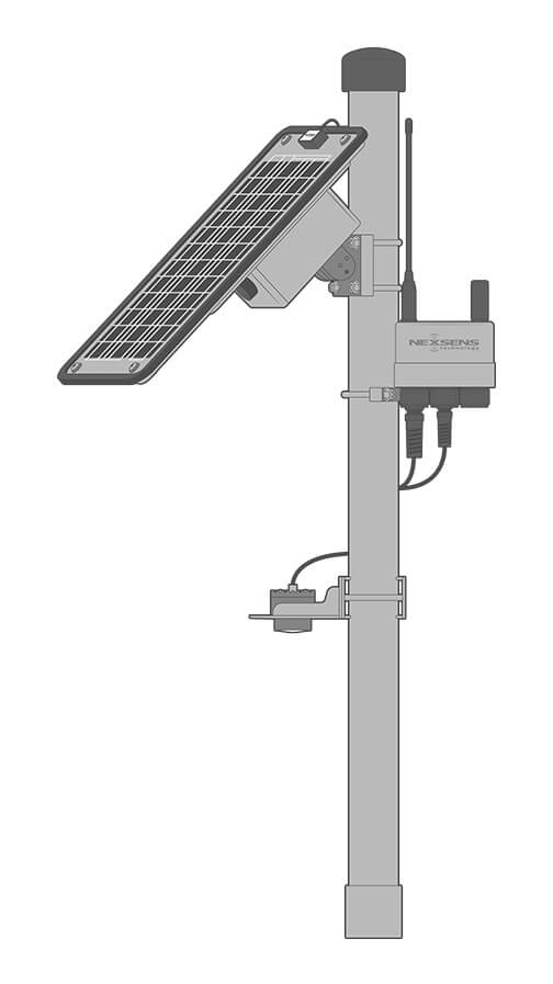
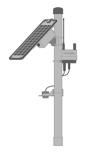
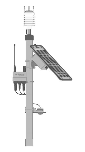
Tide monitoring systems can be established in dedicated gauge houses or on existing infrastructure like piers or docks that provide a stable mounting location. Flexible and customizable systems achieve plug-and-play performance in many settings.
Data Logger
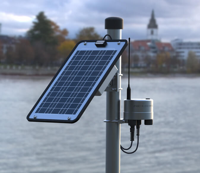
The X3 is a weather-resistant data logger offering robust performance in harsh marine conditions. Pluggable, waterproof ports simplify sensor connections, while wireless telemetry capabilities offer real-time data access from nearly any location.
Tide Sensor
Non-contact radar devices such as the Geolux LX-80 series level sensors are well-suited for tide measurement. They require minimal maintenance and offer a high level of accuracy as the radar signals are resistant to environmental interference.
Power
Solar-charged SP-series power packs are ideal for any application where a fixed power supply is not available or practical. These are sized based on measurement requirements and geographic location to ensure continuous operation.
Need More?
Tide monitoring often benefits from the addition of other sensor types and measurement redundancy to verify readings. NexSens monitoring platforms are highly customizable to accommodate nearly any tide monitoring application.
Additional Sensors
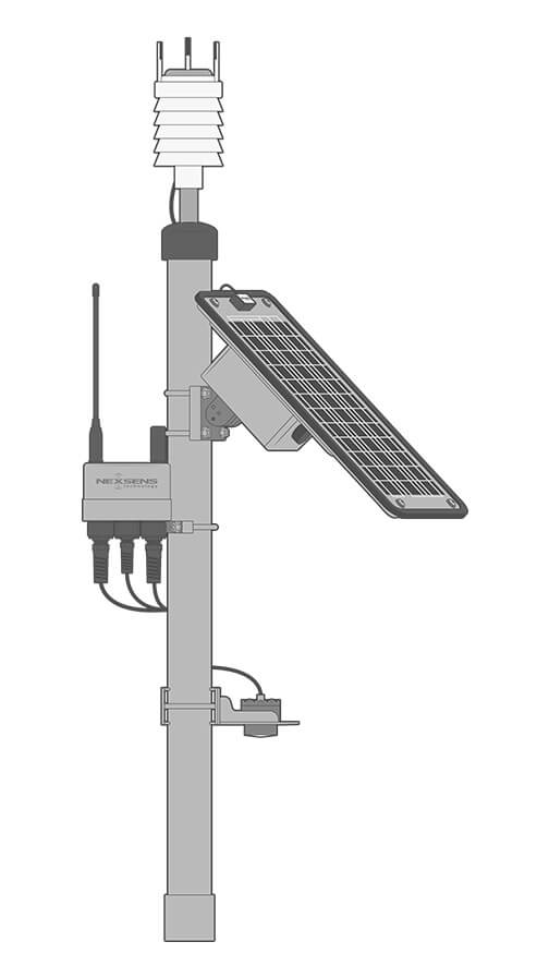
Weather stations are a frequent addition to tide gauge stations to track general meteorological conditions, including air temperature, barometric pressure, relative humidity, wind speed and direction, precipitation, and solar radiation.
For the addition of wave measurement, the Geolux Non-Contact Wave & Tide Sensor is an available alternative. The high-frequency sampling accurately measures tidal ranges while adding wave analysis to the system without the need for a buoy.
Other common system additions include water quality sensors and ADCP instruments for current profiling. Multi-parameter sondes measure common water quality parameters like temperature, conductivity, pH, dissolved oxygen, and turbidity.
Measurement Redundancy
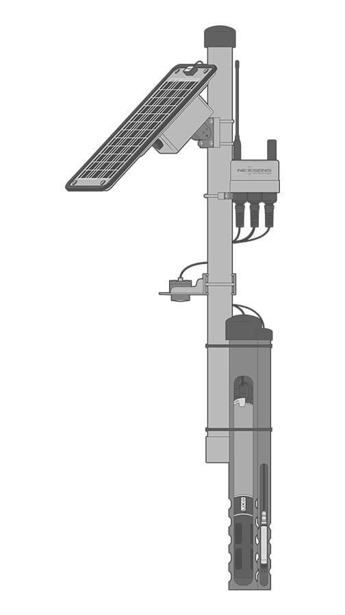
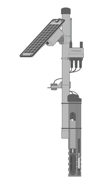
To ensure data reliability, redundant water level measurements can be collected using both radar and pressure sensors. These parallel readings help validate trends, flag anomalies, and provide backup in case of sensor drift or failure.
A pressure transducer like the Solinst Water Level Temperature Sensor can easily be added to tide gauge systems. Pressure sensors are mounted below the minimum water level and are available in vented and non-vented versions.
Mounting
The PM2 Data Logger Mounting Kit is specially designed for X-Series data loggers. It facilitates wall mounting with user-supplied screws or pole mounting on a 1.5″ to 2″ (38 to 50 mm) mast to accommodate any mounting situation from indoor gauge houses to shoreside docks.
The kit includes grounding hardware to protect against power surges or spikes. For mounting of radar level sensors and other common instruments, customized mounting brackets are available.
Real-Time Tide Data
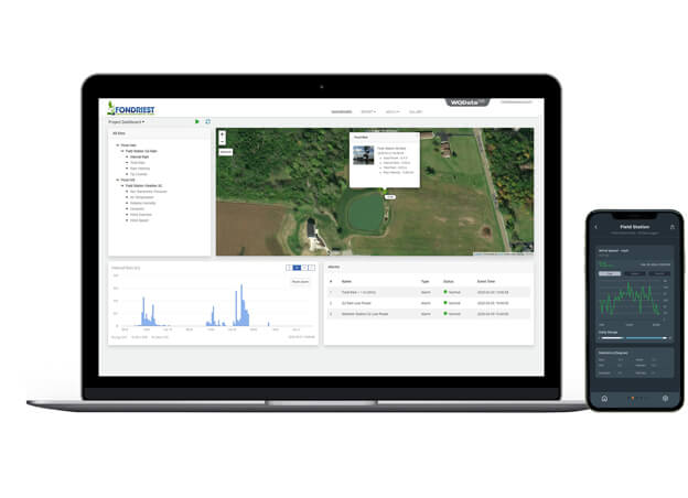
Wireless data transmission via 4G LTE, Wi-Fi, or Iridium satellite telemetry makes tide gauge data available in near real-time on the WQData LIVE web datacenter.
The free, basic service tier allows users to securely access and analyze data, as well as remotely control loggers, share data through auto-reports, and set simple high/low Quick Alerts.
Subscription-based tiers of WQData LIVE allow for advanced functionality, including reporting, alarming, and data sharing with automated export, API, and Public Portal options.

Purchase in the USA
Visit our US distributor, Fondriest Environmental, to purchase online.

Purchase Internationally
Click the button below to find a local distributor.
Contact a NexSens Applications Scientist
Need help designing an Environmental IoT system? NexSens applications scientists will help you design the perfect monitoring system to meet field conditions and monitoring needs.
Related Videos

Case Studies
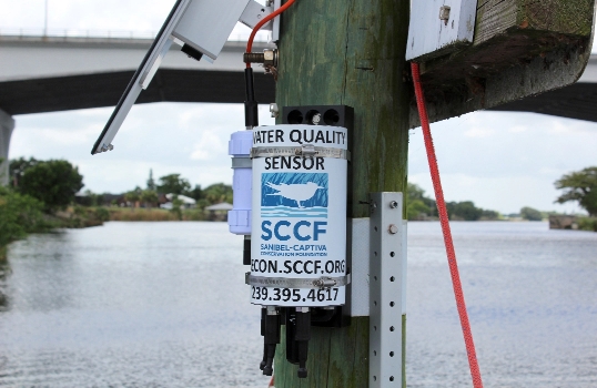
Safeguarding Southwest Florida with Marine Water Quality Monitoring
When the Okeechobee and the Caloosahatchee River were connected by the United States Army Corps of Engineers (USACE) in the 1880s, the region underwent a variety of environmental changes. While water control locks were installed in the 1930s and 1960s, the Sanibel area in Southwest Florida still suffered from deteriorating water quality due to runoff and pollution occurring up the river and surrounding watershed. Incoming nutrient loading caused massive algae drift/stranding events in 2005-2006, according to AJ Martignette, the Laboratory Manager with Sanibel-Captiva Conservation Foundation (SCCF). The water quality shifts also led to the increased frequency and severity of red tides as well as large salinity swings affecting sea grasses in the estuary and freshwater grasses in the river. In order to mitigate some of the damages, the SCCF stepped in to help develop a monitoring program that would help inform the USACE and the South Florida Water Management District when to release water and when to close off the connection between the lake and river. In 2007, what is now referred to as the River, Estuary and Coastal Observing Network, or simply RECON was created. Made up of 11 monitoring sites, the network tracks weather and water quality across Southwest Florida in order to ensure the residents can continue to rely on the aquatic system. Challenge: Environmental Conditions in Southwest Florida
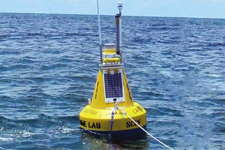
Coastal Estuary Observation Network
Sanibel and Captiva Islands sit near the Gulf Coast in Southwest Florida and are some of the last stops for water flowing from Lake Okeechobee through the Caloosahatchee River and to the Gulf of Mexico. The region has dealt with die-offs of snook, a sought-after game fish, because of temperature fluctuations in the water. Other marine life has suffered from the temperature swings as well, as turtles there have been found stunned by the cold. To keep tabs on temperatures and other water quality indicators there, scientists at the Sanibel-Captiva Conservation Foundation Marine Laboratory oversee an estuary observation network that collects data in real time. By observing changes as they happen, the researchers can make appropriate and timely recommendations to the U.S. Army Corps of Engineers, which controls water releases from dams upstream.
Coney Island Creek TSS Monitoring
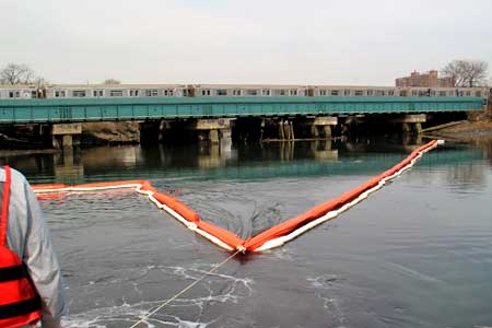
Coney Island Creek is a sea inlet separating the western portion of Coney Island from the main body of Kings County, New York. In the early 1900s, a tire factory near the creek contaminated it by dumping benzene and other hazardous chemicals. In an effort to dredge the contaminated sediment, a New York consulting firm contacted NexSens Technology for assistance on designing and implementing a real-time turbidity dredge monitoring system. Monitoring dredge operations in real time The water level in Coney Island Creek fluctuates drastically daily based on tides. Due to sediment buildup, many areas completely dry up during low tide. Therefore, a typical buoy-based dredge monitoring system was not feasible in all areas. As a solution, NexSens engineers developed unique float kits to keep the turbidity sensor from becoming covered in muck during low tide.